From Census Maps to Google Maps: A Quick History of GIS
Open Google Maps, drop a pin, and you’re standing on the shoulders of decades of innovation. Geographic Information Systems (GIS) are so embedded in daily life that we rarely ask where they came from. But the story of GIS is full of creative experiments, government projects, and a handful of grad students who went on to shape how we understand the world.
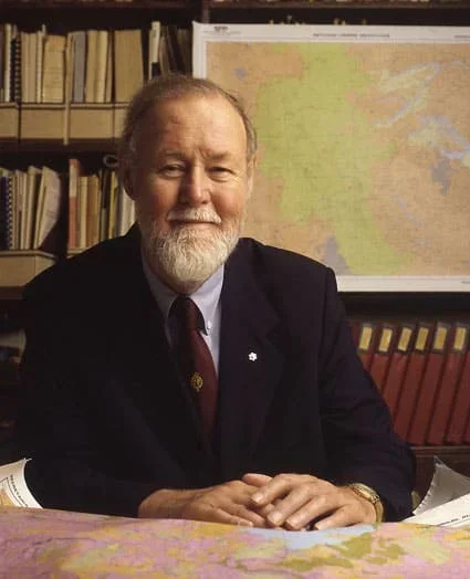
Roger Tomlinson (“Father of GIS”) — Image via Geography Realm
The Birth of GIS (1960s)
The idea of digitizing geography first took root in the early 1960s. Roger Tomlinson — often called the “father of GIS” — led the Canadian GIS project, which was the first modern attempt to manage land-use data in digital form.
Meanwhile at Harvard, Howard Fisher created the “ODYSSEY” vector GIS system at the Laboratory for Computer Graphics. ODYSSEY wasn’t just a tool — it became a launchpad for a new field. Fisher’s students included David Sinton, who later founded Intergraph, and Jack Dangermond, who founded ESRI, the company behind ArcGIS.
Government Powerhouses (1970s–1980s)
While universities experimented, federal agencies scaled. The U.S. Geological Survey (USGS) began digitizing land-use and land-cover data with its Geographical Information Retrieval and Analysis System (GIRAS). The USGS still maintains many of the foundational digital datasets we rely on today.
At the U.S. Census Bureau, another innovation was unfolding. To computerize the 1980 census, they developed DIME (Dual Independent Map Encoding). This laid the groundwork for address-matching and taught researchers which topological relationships needed to be stored in a GIS.
Donald Cooke, one of the key figures behind DIME, later became president of Geographic Data Technology (GDT). His work connected the dots between raw census data and the mapping tools that make modern navigation possible.
By the 1990 census, DIME had evolved into TIGER (Topologically Integrated Geographic Encoding and Reference) files — still the backbone of census mapping into 2020.
Why This History Matters Today
It’s easy to think of GIS as software — ArcGIS, QGIS, or the Google Maps app on your phone. But its history reveals something deeper: GIS is about encoding relationships between people, land, and information.
Every time an archaeologist overlays settlement data on a terrain model, or a city planner visualizes flood risks, they’re building on this lineage of experiments. The tools might look slick today, but they come from messy beginnings: punch cards, census tabulations, and graduate student projects.
GIS didn’t just make maps — it reshaped how we ask questions about space, memory, and change.
The next time your Uber finds you on a side street, or you zoom into a heritage site on a satellite map, remember: you’re navigating a landscape shaped by decades of trial, error, and imagination.